My Hurricane Tracker offers a comprehensive suite of tools designed to help you stay informed about hurricanes, tornadoes, cyclones, and other severe weather events. With its user-friendly interface, you'll find all the essential information you need without the clutter that can overwhelm you on other platforms.
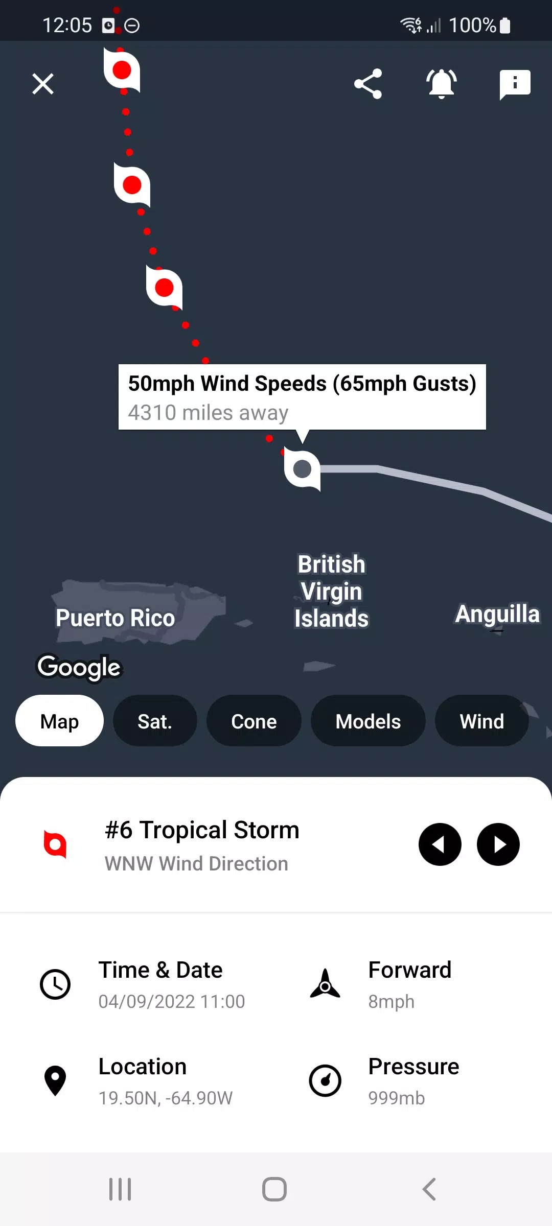
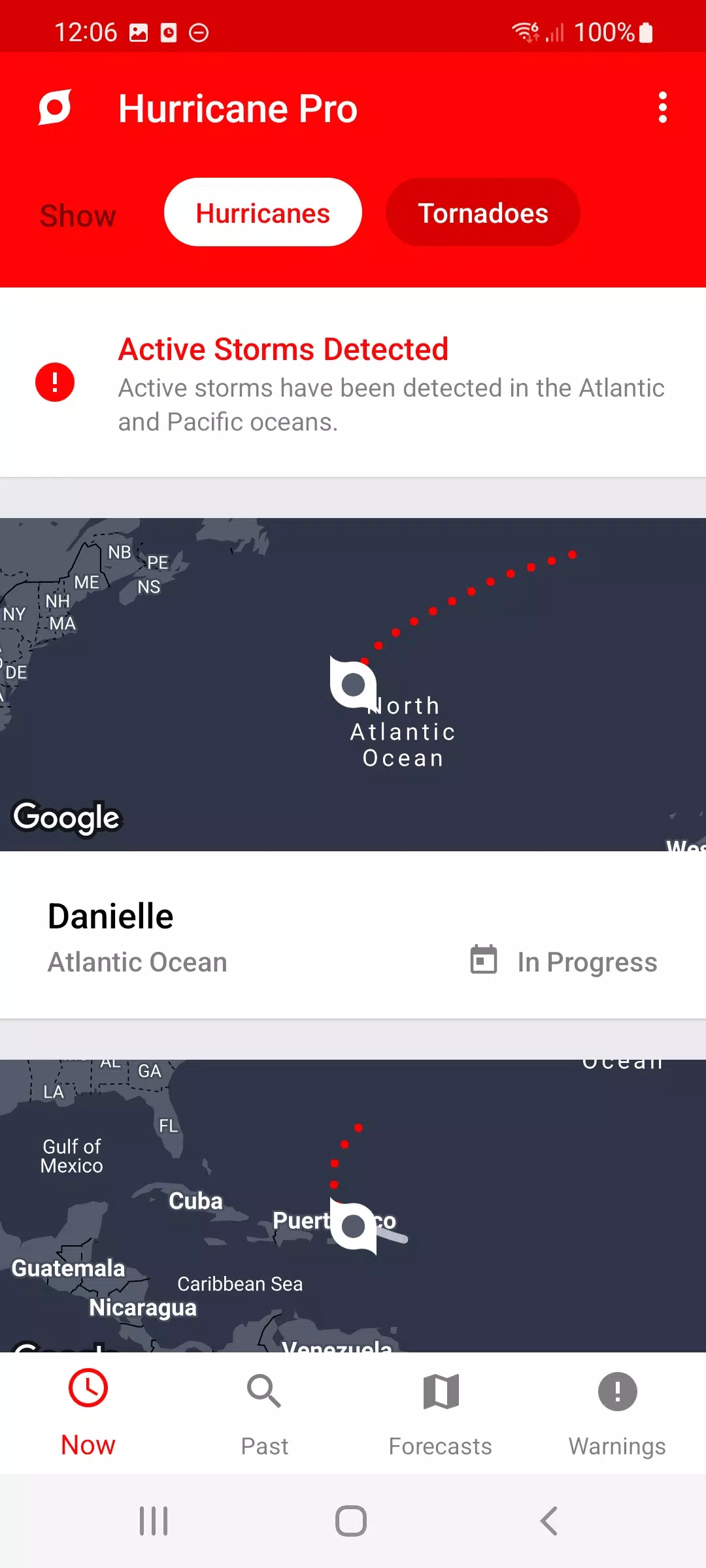
Interactive Tracking Maps: Follow the path of each hurricane with our detailed, interactive maps.
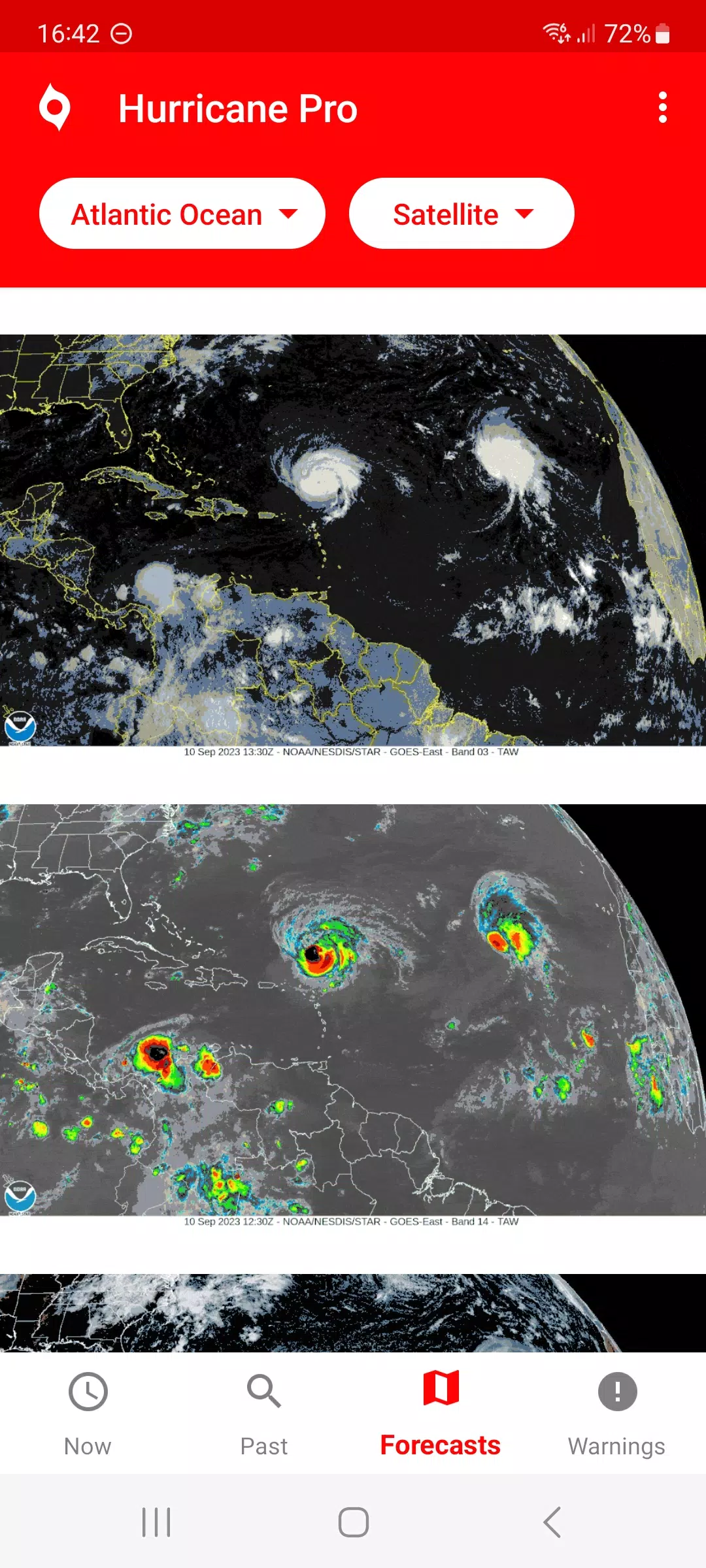
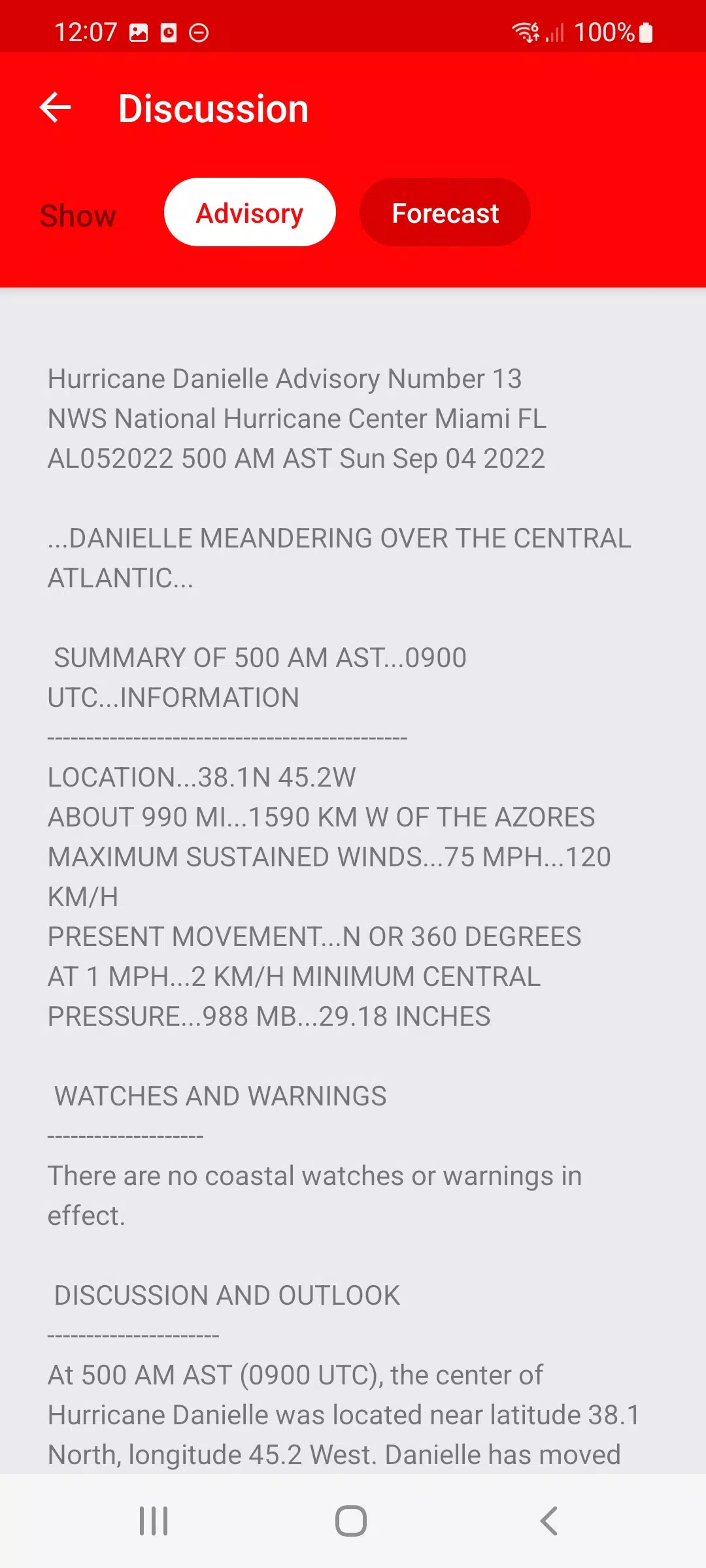
NOAA Forecasts and Satellite Imagery: Access the latest National Oceanic and Atmospheric Administration (NOAA) forecast maps and storm satellite imagery, where available, to stay updated on storm developments.
Historical Data: Explore past storms dating back to 1851 for Atlantic hurricanes and 1949 for Pacific storms, allowing you to understand historical patterns and prepare better for future events.
National Weather Service Warnings: Receive real-time weather warnings directly from the National Weather Service to stay safe and informed.
Push Notifications: Get instant alerts for new storm formations or weather warnings, ensuring you're always in the know.
Updated Imagery: Benefit from automatically refreshed radar, satellite, and sea temperature images within the app, providing you with the most current data.
7-Day Outlook: View the next seven days' outlook from the National Hurricane Center (NHC) to plan ahead and stay prepared.
Specific Hurricane Tracking: Track individual hurricanes and receive notifications whenever updates are available by simply pressing the notify button.
My Hurricane Tracker is akin to other popular apps like Hurricane Tracker, Hurricane Pro, and Storm by Weather Underground. Please note that this version is ad-supported.