Participate in crowd-sourcing events to capture sea level rise data with the Sea Level Rise app, which empowers individuals to map flooding in their communities. This tool is crucial for documenting the impacts of sea level rise and other flooding events. By engaging in these activities, you contribute valuable data that helps researchers and civic leaders better understand and address the challenges posed by rising sea levels.
While virtually everyone in and around low-lying coastal regions is affected by sea level rise, our efforts began in Hampton Roads, Virginia. Through the annual "Catch the King Tide" events organized by Wetlands Watch, thousands of volunteers have mapped flooding, enhancing our collective understanding. The Sea Level Rise app fosters a more informed and connected community, enabling us to stay ahead of this critical issue.
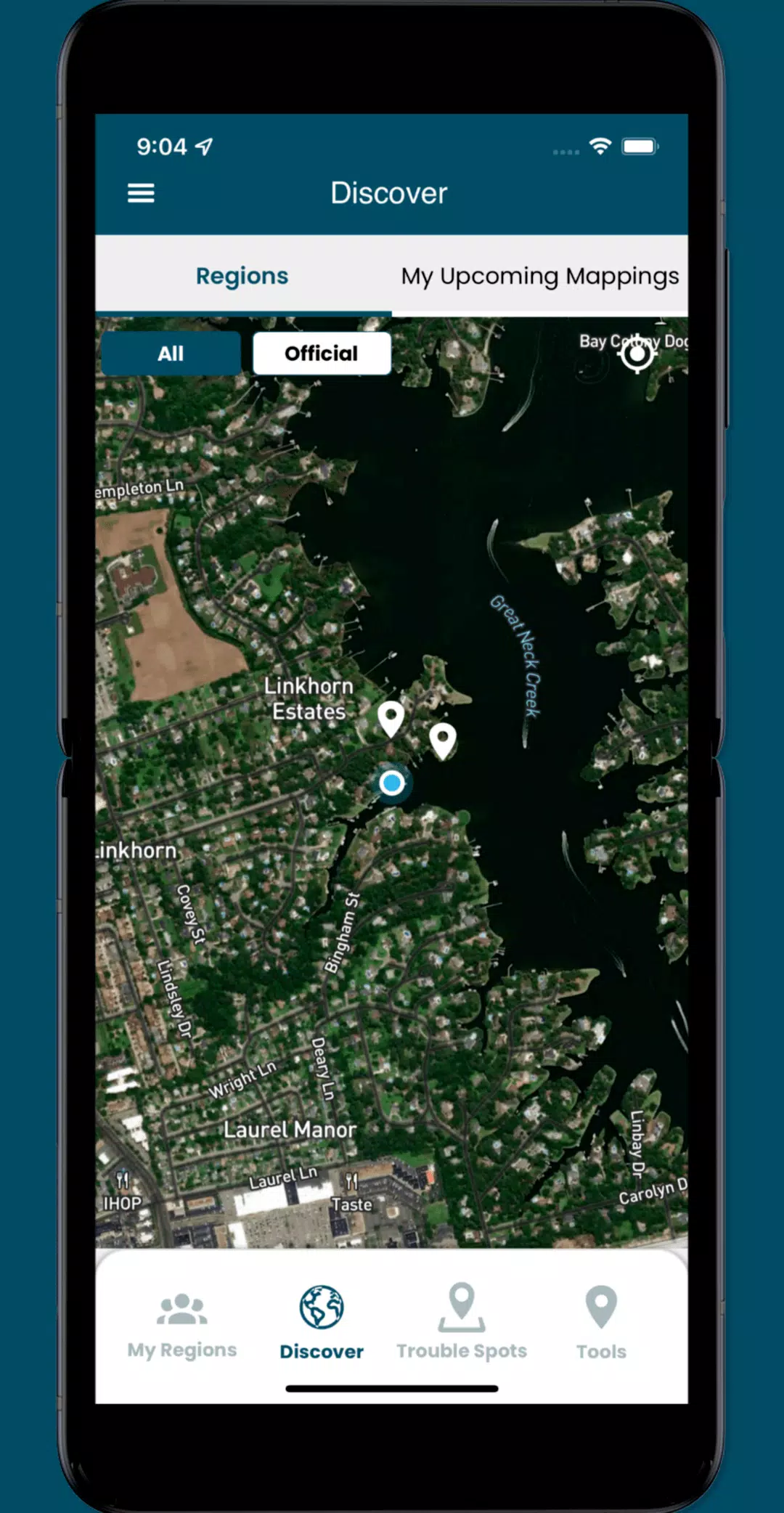
With the app, you can access user-submitted information about this global phenomenon and participate as a volunteer in capturing street-level data. The app allows you to:
- Participate in crowd-sourcing events to capture the localized data that researchers and civic leaders need but often lack.
- Identify and add nearby "Trouble" spots where high water impacts your travel during inclement weather.
- Capture and share photos that document the flooding occurring in your community.
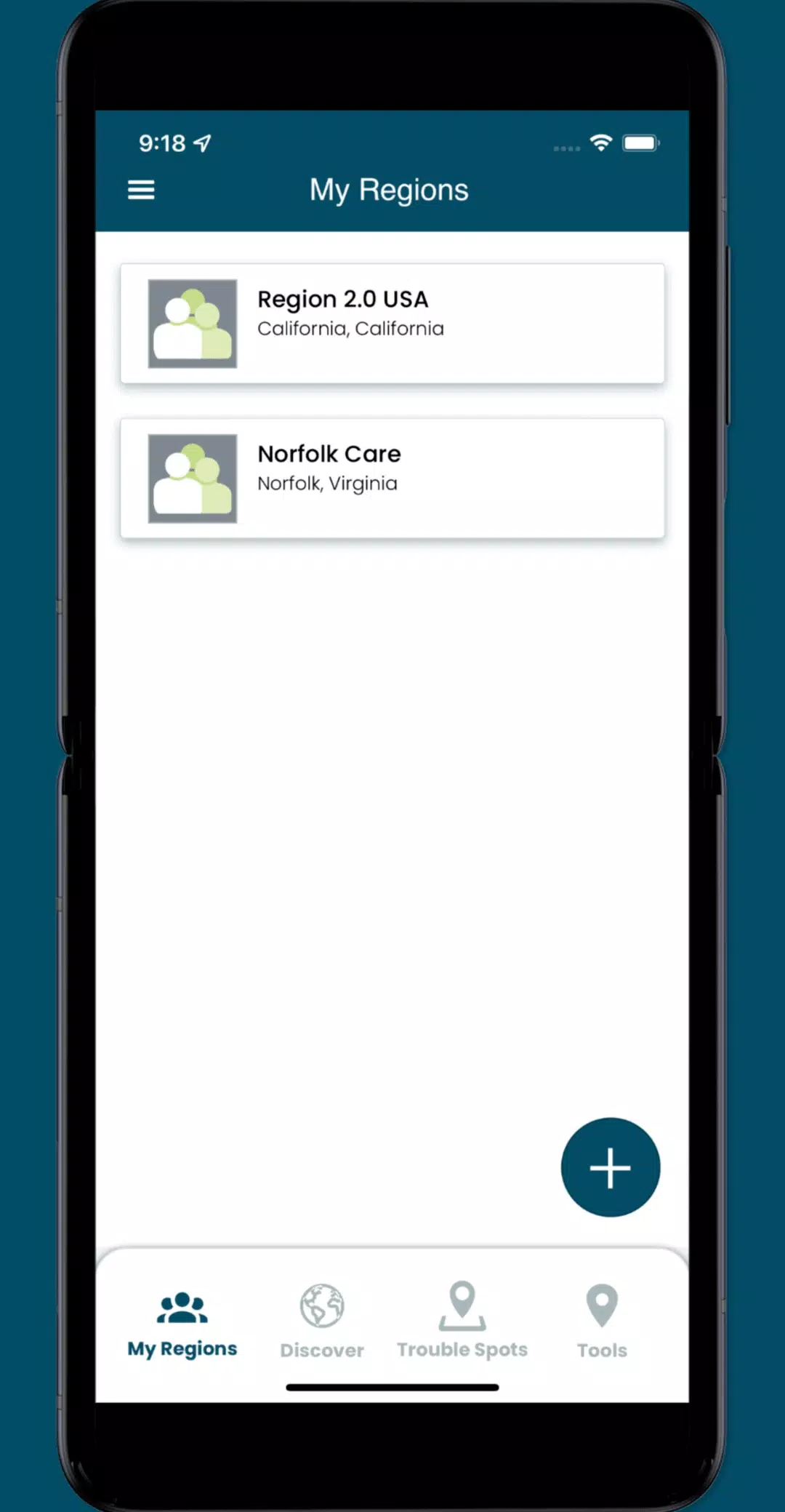
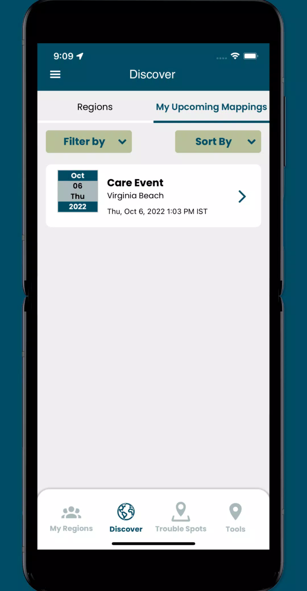
- Access specific collaboration spaces, called regions, where you can manage volunteers and schedule mapping events.
What's New in the Latest Version 3.0.9
Last updated on Oct 19, 2024
Update the following functionality:
- Implemented minor UI enhancements and resolved several issues throughout the app.