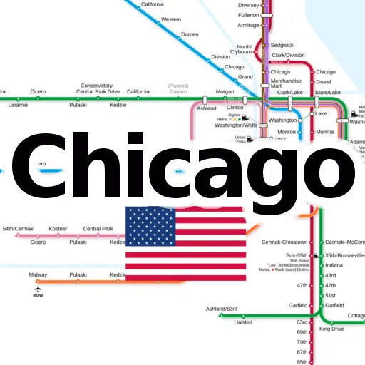
Discover the essential tool for navigating Chicago's transit system with our comprehensive application, which consolidates all significant subway and railroad maps into one convenient platform. Designed for both locals and tourists, this app ensures easy access to vital transportation information right at your fingertips.
With our app, you can explore the following line networks offline, without the need for any additional downloads:
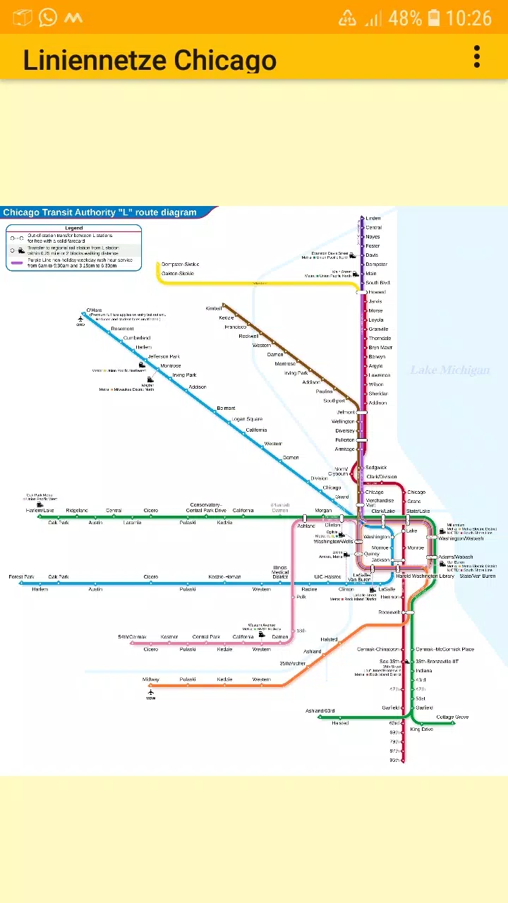
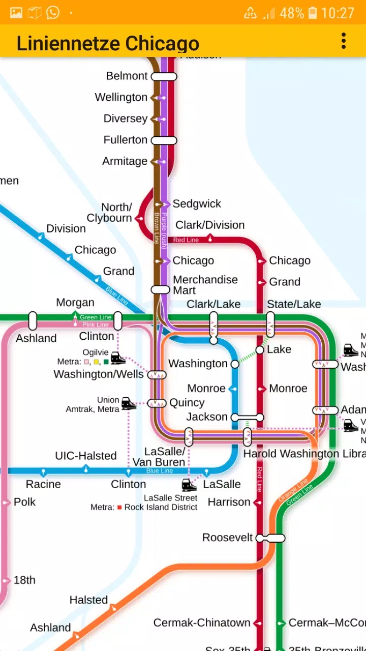
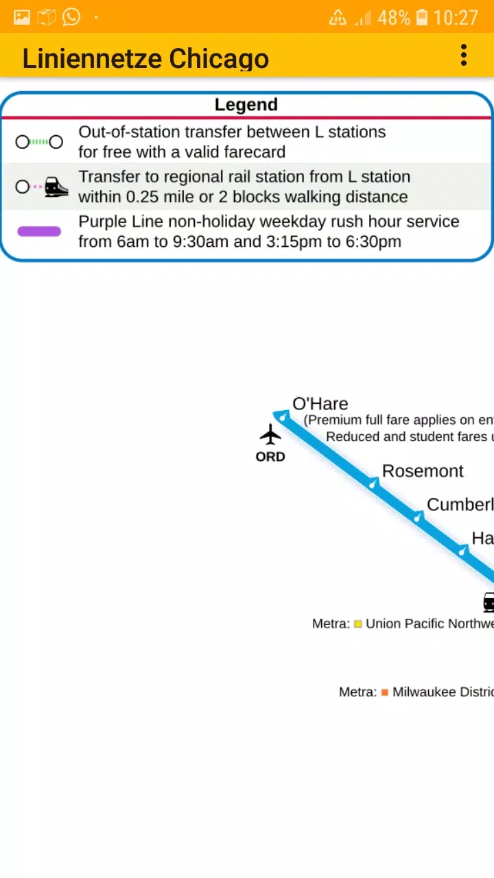
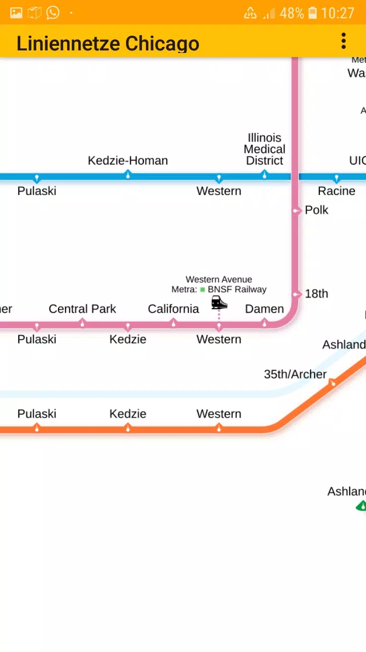
- Chicago elevated "L" rapid transit system
Stay connected with us on Facebook and visit our homepage for more details.
Our user-friendly app features easy-to-zoom line network maps, perfect for all Chicagoans and visitors seeking to navigate the city's transit with ease. The application includes several tabs, each showcasing different types of transit maps for your convenience.
The metro line network, often referred to as the underground, rail transit map, urban tube map, or public subway, is readily available for you to explore offline. Simply scroll around, zoom in and out, and plan your journey seamlessly.
We value your input! Feel free to share your suggestions for improvement, ideas, wishes, or simply provide feedback via email or through our contact form at this page.
Notices:
- Compatible with phones and tablets running Android 4.4 (KitKat, API 19) to Android 13.0 (API 33).
- Please note that the content of the apps is not guaranteed to be accurate or complete.
- The embedded maps in this app are subject to the Creative Commons license (CC BY-SA 4.0) and were created by Chinese Wikipedia user Sameboat (copyright holder).
Enjoy exploring Chicago's transit system with ease and have fun in the Google Play Store with dieEinsteiger.
What's New in the Latest Version 1.3
Last updated on Oct 20, 2024
v1.3 (06-08-2024)
- Update to Android API 35